InstaGram

Thursday, July 28, 2011

Reunion

A few photos of my recent family reunion camping trip to Southern Utah.  Lots of sitting around, fishing, and eating food... and rednecking (see below).

Reese with her 2 cousins.

Reese hiding behind a log railing.

My initials carved into Fish Lake Lodge.

Plenty of Aspen trees with stuff carved in them.

Photo of the family photo.  2 of 3 kids in view showing the "stinky eye".


Pulling Jaxon around the lake redneck style.

Sunday, July 17, 2011

2011 Breckenridge 100

My race bike taking a rest after a hard day of flawless service.

I had been looking forward to the Breckenridge 100 all year and the it did NOT disappoint.  It was every bit as challenging and rewarding as I hoped it would be.  For anyone that has ridden the Park City Point 2 Point and would consider that a 10 on the scale of difficulty, which I do, the Breck 100 turns the dial up a notch to 11.  Both races share a common theme: climb, climb, climb, and when you are done with that... climb.  They also share some of the best single-track I've ever ridden, not just a few miles, but in 20-30 min stretches.  For me the dial goes up a notch in Breck for 2 reasons.

  1. The climbing is intense and steep in places but the trail is much more chunky on those climbs / descent.  There are huge root sections stretching 20-30 feet, "baby head" rock gardens on steep grades that can stretch for 1/4 mile, and small boulders thrown in for good measure. The trail was rarely smooth so it was a constant fight for each foot of altitude.  There was no shame in using the little ring.  This year there was even an added bonus hike-a-bike through 2 snow fields on Wheeler Pass.
  2. The race *starts* at 9,600ft and reaches skyward to 12,320 feet on Wheeler Pass.  The highest point in the Point 2 Point race is around 9,200 feet.  The elevation was noticeable and forced me to dial it back a notch in order to survive the whole 100 miles.  
With that said I still love the P2P and can't play favorites on the overall race experience.  They both have earned a well deserved place in the NUE series.  I rode a strong race, felt great, didn't cramp, and finished in 10 hours taking 6th in a stacked 30-39 group and 22nd overall.   Take a look below for some specifics on the race and some photos of the day.

Elevation profile and HR data. Check out the full ride on Strava.com or connect.garmin.com


The climbs I remember really putting on the hurt.  There were more but these are the major ones.

Peak Road climb up to Wheeler Pass.  We had to traverse a number of snow fields (see below) towards the top of the climb. I pushed it a little hard on this one from the start to clear as many riders as possible. The descent off the back is very technical and I wanted to make sure I had a clear shot back down.  Thankfully I did and rippin' that single-track was a welcome reward for the effort up the front side.
This little section of the Peaks Trail was one of the many chunky climbs rolling endlessly back to Breckenridge to complete loop1. There were rocks, roots, and some sweet single-track sections.  I rode pretty conservatively on this section opting for a smaller gear over mashing the pedals up all of those punchy climbs.

Loop 2 starts off with more climbing right out of Carter Park.  The first is up Barney Ford Hill to Sallie Barber, a short downhill section on the road then the trail unleashes Little French Flume shown above in blue.  "Little French" as it's called is steep, rocky, and unmerciful but it is ridable and I managed to make it up without touching down.  Again, the course hands out some sweet downhill after Little French to reward a hard effort.

This is the North Fork and Colorado Trail section of Loop 2.  The climbing was rough, just like you'd expect from the Colorado Trail.  Descending off of Kenosha Pass one would land just up trail from the green arrow shown above.  I knew from a pre-ride last year that there is some really sweet downhill of the back side but it seemed to take forever to get there. Climb, climb, climb.  I saw a few people starting to crack on this section.  I tried to maintain a good pace but was still not hammering any of the climbs yet.


The blue line is Gold Run Road.  It was an 18% grade in places and sucked. The hairpin section my Mineral Hill in the middle of the map unleashed an awesome single-track descent with swooping turns and a number of sweet little jumps.  Almost fun enough to make me forget the road section I just suffered through.  Again, the course dishes out pain followed by reward.  A love-hate relationship at it's best!

Loop 3 starts off again with more climbing, big surprise.   The line in blue is a steady climb that gradually increases in grade and rough terrain right before it drops riders off onto Boreas Pass Road for the first crossing of Boreas Pass.

After reaching Boreas Pass the course takes a right (your left) and starts the descent down into Como.  There is still a fair amount of up and down climbing on the trail but to offset that is some of the most fun and interesting sections of single-track I've ever ridden (in the red on the left).  You'll have to check it out! Once I reached Como I was ready to unleash all that I had for the second ascent of Boreas Pass.  Looking at the elevation profile in preparation for the race I realized the race really ends at Boreas Pass because everything else, with a few short punchy climbs, was literally down hill.  I was feeling good leaving Como and had just downed my 2nd bottle of CarboRocket 333 for the lap and swapped the 3rd onto the bike.  That's 666 calories and the equivalent of 2 cans of Coke working it's way into my system.  I was ready and my legs were willing so I put it in the big ring and started hammering out of the saddle.  I managed, to my surprise, to reel in 2 or 3 riders up the pass and pushed over the top with empty bottles on fumes.  I recovered just enough on the downhill to make it over the last little kicker, down the single-track and into Carter Park with a smile. Success!

Some Photos.  I'll add more once they become available.

The trail working it's way up to Wheeler Pass. Photo: Les Handy

A very steep "cary-a-bike" section. One slip here and it's all the way back to Breck.  Photo: Les Handy

Wheeler Pass looking north-west. The highest point of the race. Some steep and technical single-track just beyond the horizon.  Photo: Les Handy


How much food does it take to fuel a 100-mile endurance race?  About this much.  Chris Baddick and I split this pizza the night before the race.  It's called the "Gigantor". 

Wheeler Pass on Loop #1


Colorado Trail on Loop #2

Boreas Pass Loop #3


More Photos:  Loop1, Loop2, Loop3

Wednesday, July 13, 2011

2011 CU Short Track #9

Post Race Team Photo
We raced 11 min today due to lightning... probably a good thing with a big race for me this weekend.  Given most of the pros are out of town for the Mountain Bike XC National Championships the A race was very thin and they decided to run the men and women together.  At least the course was fun.  Plenty of turns with a  really steep kicker (top left).  I'm pretty sure Chris had something to do with this... and the rain.


On the way out of town I hit the trails on Marshall Mesa for an hour.  I've never ridden there before so it was fun to check it out.  Plenty of good views of Boulder and Eldorado canyon.


Eldorado Canyon in the background.

Monday, July 11, 2011

Hydration Pack or Bottles?


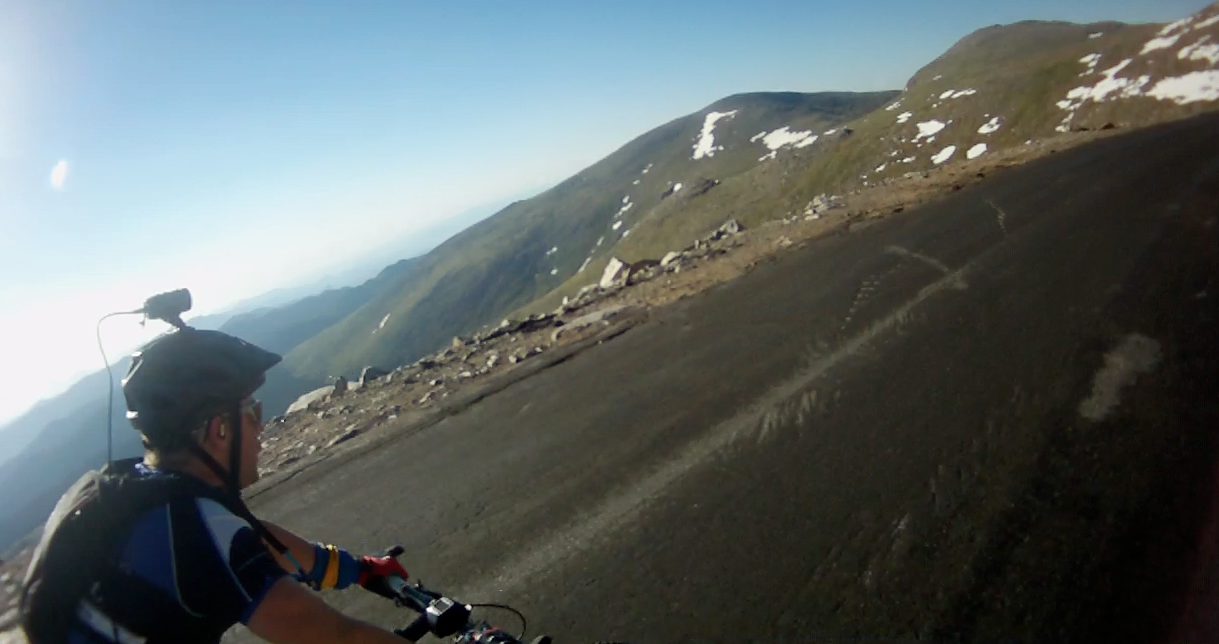
I'm contemplating my hydration plan for the upcoming 100-miler this weekend and am faced with the choice of using a hydration pack or bottles or a combination of both.  I have a bike with only 1 bottle cage available so regardless of which option I choose, I'll have a little water on my back.  For The Bailey Hundo this year I opted for a pack swapping out a pre-filled bladder 1/2 way through the race.  For last weekend's race I used bottles and had a teammate 1/2 way through each lap hand off a fresh bottle in addition to a stash at the start.  So based on my experience here are some reasons for or against using a Hydration pack.

Hydration Pack Pros:
* Easy to grab that little hose and suck even when in technical terrain. This makes staying hydrated easier.
* You can cary a little more water and save time passing up aid stations.
* A little more room for an extra vest, tube, food, etc.  You don't have to stuff that jersey to the limit.

Hydration Pack Cons:
* Weight, you have to cary more weight on your back rather than on the bike with bottles.
* High center of gravity, almost a guarantee the pack will slosh around and throw you off balance at some point.
* Hard to know how much water you have left.
* Takes a long time to refill.  Bottles are much faster to swap out and / or refill.

I know each pro / con doesn't cary equal weight and the terrain of the course, frequency of aide stations, etc can swing the pendulum one way or the other.  Still with that said, I'd love to hear your input on the topic.

Sunday, July 10, 2011

2011 40 In The Fort


It was a tough call to choose between the Winter Park Point-to-Point race and the  40 In The Fort put on by the Overland Mountain Bike Club in FT Collins, CO this weekend.  Although I love the WP race series, I thought I'd give this new one a try.  I had only ridden in the FT Collins area one time before back in October 2011 for the first annual Ergon Monster Ride.  The race was on trails in both the Lory State Park and Horsetooth Mountain Park.  We did two 20-mile loops which covered the gamut of conditions: smooth singletrack, chunky technical climbs / decents, hike-a-bike,  and 20+% road climbs.

It  felt something like this:

It was a true mountain bike race.  If you don't have technical dirt skills, you'll be walking a lot up and down and probably will hate the race.  If you like technical (rocks, roots, water bars) climbs and decents, you'll love the race course.  I had a pretty good race unofficially finishing 10th in the open classification.  I had one issue with my front shifter that prevented me from using the big ring the 2nd lap but as you can see from the elevation profile above, the big ring was used sparingly.  Thanks again to all that helped out and put this event together.  A big thanks to my teammate and one of the nicest guys you'll ever meet. Jim Fu.  He and his family put me up the night before and made me feel very welcome on and off the course.  I'm looking forward to returning the favor sometime soon.

Rippin' Fast Downhill


One of the many big drops in Horsetooth.
Top of Bacon Hill or whatever that evil road is called.
Fu Dog making sure I make it back to a warm shower and awesome meal. That white sticker says "FU".
The lower trails were plagued with endless mud puddles.  Glad I used the wet lube.


Wednesday, July 6, 2011

2011 CU Boulder Short Track #6

Suffering. ..  Photo:  Kelly Feagans
I kicked it up a notch this week and took on the Men's A race at the CU Cycling Short Track Series. There weren't too many people so the race was pretty thin and went about how I expected it to go... with me straight off the back from the start riding solo most of the race.  It was fun to mix it up with the top-level riders in the area and push limits though.  The thing I like most about these races is the transparency. There is no where to hide.  Unlike the longer endurance races where riders are seen at the start and then 4-10 hours later at the finish, with STXC, failures and successes are played over lap after lap. Everyone watching can mark your progress, see you suffer, and cheer you on even if you are one the the last guys to cross the line.

Punchy course either kept you on the brakes or the gas.


pain-o-meter. 15 min longer than my past B races.

When I arrived in Boulder and found out all of the races were about 15-min behind, I decided to take a quick spin up to the Valmont Bike Park about 3 miles away from CU. This place is pretty sweet and has terrain for just about every rider.  I went ahead and pulled a 360 of the XL on my way back to the race.

Valmont Bike Park, Boulder

Monday, July 4, 2011

July 4th


I hope your 4th was as good as mine.  I love this country!

Saturday, July 2, 2011

Riding Mt Evans from Idaho Springs

Top of Mt Evans

I took a spin to the top of Mt Evans today with my neighbor Roger Stones.  I've had this ride in mind for a while but haven't made time for it.  One of the things about Colorado that made me fall in love with it are the big mountains.  We have a bunch of peaks over 14,000 feet (50+) and all of them are accessible by hiking trail.  Mt Evans and Pikes Peak are the only two that have roads to the top as far as I know.  These roads are handy if one were to be training for say the Breckenridge 100 in July or the Colorado Trail Race in August as both of these races jump over 12,000 feet.  With Colorado still under lingering snow pack on many of the high trails, paved roads to the top of 14ers are a good alternative for elevation riding.


Chillin' with a PB&J checking out the wildlife and the route from whence we came.


The route looking north.  Idaho Springs is at the top and Evans at the bottom.


Distance: 55.55mi, Elevation Gain: 7,202ft, Round-trip time: 4:16
As is the norm for me, we started pre-dawn.
Cockpit view: Ergon Grips & Gloves and Radical Lights on board.
Roger around 13,000 feet